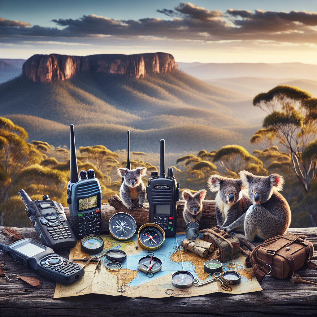
Beyond the Trail: Essential Navigation Skills for Beginner Campers
So, you’re thinking about venturing beyond the well-trodden paths, huh? That’s awesome! Camping can be an incredible experience, a real chance to reconnect with nature and yourself. But stepping off that familiar trail? Well, that requires a little more know-how. It’s not just about pitching a tent and roasting marshmallows (though those are important, too!). It’s about knowing how to get back, how to stay safe, and how to truly explore with confidence. That’s where navigation skills come in. Consider this your friendly guide to mastering the basics. Think of it as your compass for conquering the confounding corners of the camping world!
Why Navigation is Crucial for Campers (and Not Just for Getting Back to the Car)
Let’s be real. Getting lost is scary. More than that, it’s dangerous. Beyond the obvious risk of wandering aimlessly until your granola bars run out, poor navigation can lead to injuries, exposure, and a whole host of other unpleasant situations. But here’s the thing: navigation isn’t just about avoiding disaster. It’s about empowerment. It’s about freedom. When you know you can confidently find your way, you’re free to explore further, to discover hidden gems, and to truly experience the wild. Plus, let’s face it, there’s a certain satisfaction that comes from knowing you can confidently find your way in the wilderness.
Think of it like this: You wouldn’t try to bake a cake without knowing how to read a recipe, right? Well, navigating the backcountry without knowing the basics is kind of the same thing. You need the right tools and the know-how to make the experience successful (and not end up with a culinary disaster…or, you know, a camping mishap!).
Here’s what we’ll cover to make sure you don’t become a lost-in-the-woods statistic (in a lighthearted way, of course!):
- Understanding Maps: The paper kind, the digital kind, and why both still matter.
- The Magic of the Compass: Orienteering 101, declination, and why your smartphone’s compass isn’t always your best friend.
- GPS Devices: When to use them, how to use them, and why they shouldn’t be your only solution.
- Trail Marking and Route Finding: How to follow blazes, cairns, and your own breadcrumbs (figuratively, please don’t litter).
- Emergency Navigation: What to do when things go wrong (because, let’s face it, they sometimes do).
Deciphering Topographic Maps: Your Paper Passport to Adventure
Okay, let’s talk maps. Not the kind you see on your phone; we’re talking about the good old-fashioned, paper kind. Why paper? Because batteries die, screens crack, and satellite signals can be unreliable. A paper map is your reliable, always-available friend in the backcountry. Topographic maps, or “topo” maps as we like to call them, are the gold standard. They don’t just show you roads and trails; they show you the shape of the land, with contour lines indicating elevation changes. Why is this important? Well, knowing if you’re about to climb a steep ridge or descend into a valley can make a huge difference in your planning and your energy levels.
Imagine trying to hike up a mountain, thinking it’s a gentle stroll, only to find yourself gasping for air halfway up a near-vertical cliff. A topo map would have warned you about that!
Here’s what you need to understand on a topo map:
- Contour Lines: These lines connect points of equal elevation. Closely spaced lines mean steep terrain; widely spaced lines mean gentle slopes.
- Elevation: Usually marked in feet or meters, elevation tells you how high a point is above sea level.
- Symbols: Maps use symbols to represent features like trails, rivers, buildings, and vegetation. Learn what these symbols mean on your map’s legend.
- Scale: The scale tells you the relationship between distances on the map and distances on the ground (e.g., 1:24,000 means one inch on the map equals 24,000 inches on the ground).
- Legend: This explains all the symbols and conventions used on the map. Don’t skip reading it!
Let me explain this in an easy way. Think of contour lines like rings on a tree stump; the closer the rings, the faster the tree grew. In the same way, closer contour lines means steeper slopes. Easy peasy, right?
Where do you get these magical maps? You can find them at outdoor retailers like REI, local gear shops, or even online through the U.S. Geological Survey (USGS) website.
Click here to view the U.S. Geological Survey (USGS) website for topo maps.
The Compass: Your True North in a Confusing World
Next up: the compass. This isn’t just a trinket for pirates; it’s a vital navigation tool. While your phone has a digital compass, a traditional magnetic compass is reliable, doesn’t need batteries, and works even when the signal is non-existent. But simply owning a compass isn’t enough; you need to know how to use it to find your way. Here’s the thing: a compass points to magnetic north, which is different than true north (the actual North Pole). The difference is called declination, and it varies depending on where you are on the planet. You need to adjust for declination to get accurate bearings.
Imagine this: You’re trying to drive across town, but your steering wheel is slightly off. You’d end up miles away from your intended destination, right? Declination is like that off-center steering wheel. You need to correct for it to stay on course.
Here’s how to use a compass:
- Understand the Parts: Familiarize yourself with the baseplate, rotating bezel, magnetic needle, and direction-of-travel arrow.
- Account for Declination: Find the declination for your area (it’s usually printed on the map) and adjust your compass accordingly.
- Take a Bearing: Point the direction-of-travel arrow at your destination, rotate the bezel until the orienting arrow aligns with magnetic north (red end of the needle), and follow the direction-of-travel arrow.
- Follow a Bearing: Keep the compass level, and follow the direction-of-travel arrow, ensuring the orienting arrow stays aligned with magnetic north.
Honestly, learning to use a compass takes practice. Find a local orienteering club or take a navigation course. It’s an investment that can pay off big time in the backcountry.
GPS Devices: High-Tech Help, Not a Replacement for Skills
Alright, let’s talk gadgets. GPS devices are amazing tools. They can pinpoint your location with incredible accuracy, store waypoints, and even show you detailed maps. But here’s the catch: they rely on batteries and satellite signals. What happens when your battery dies or you’re in a deep canyon with no signal? That’s when your map and compass skills become crucial. A GPS device is a great supplement, but it should never be your only navigation tool.
Think of your GPS like a fancy calculator. It can do amazing things, but you still need to understand the basic math principles to use it effectively.
Here’s how to get the most out of a GPS device:
- Learn the Basics: Understand how to enter waypoints, create routes, and read the display.
- Carry Extra Batteries: Or a portable charger. Seriously, don’t leave home without them.
- Download Maps: Before you go, download detailed maps of your area onto your device.
- Practice Regularly: Don’t wait until you’re in the backcountry to figure out how your GPS works.
- Use It in Conjunction with a Map and Compass: Compare your GPS location to your map regularly to stay oriented.
You know what? Many GPS devices also have cool features like tracking your route and measuring elevation changes. Experiment with these features to become a GPS guru!
Trail Marking and Route Finding: Following the Clues in Nature
Even on well-maintained trails, it’s important to pay attention to trail markings. These can be blazes (painted marks on trees), cairns (stacks of rocks), or even just well-worn paths. Here’s the thing: trail markings can sometimes be ambiguous or missing, especially in challenging terrain. That’s where your route-finding skills come in. Route finding involves using your map, compass, and observation skills to identify the correct path, even when the trail is unclear.
Imagine you’re following a recipe, and some of the instructions are missing or unclear. You’d need to use your cooking knowledge to fill in the gaps, right? Route finding is similar; you’re using your navigation knowledge to fill in the gaps in the trail markings.
Here are some tips for following trails and finding your route:
- Pay Attention: Scan ahead for trail markings and be aware of your surroundings.
- Use Your Map: Compare the terrain to your map to anticipate upcoming features and trail junctions.
- Trust Your Instincts: If something doesn’t feel right, double-check your map and compass.
- Look Back Regularly: Turn around and look at the trail from the opposite direction. This can help you recognize it on your return trip.
- Leave No Trace: Don’t create your own trail markings (unless it’s an emergency). Stick to existing trails and leave the wilderness as you found it.
Let me explain something crucial. Cairns are helpful, but sometimes people build them just for fun. Don’t blindly follow cairns; always confirm that they align with your map and compass.
Emergency Navigation: When Things Go Sideways, Stay Calm and Navigate
Okay, let’s talk about the scenario nobody wants to think about: getting lost. Even the most experienced navigators can make mistakes. The key is to stay calm, assess the situation, and take decisive action. Here’s the thing: panic is your enemy. It clouds your judgment and makes it harder to think clearly.
Think of it like this: You’re driving, and your car starts skidding on ice. Panicking and slamming on the brakes will only make things worse. You need to stay calm and steer gently to regain control. The same applies to emergency navigation.
Here’s what to do if you get lost:
- Stop and Think: Don’t keep walking aimlessly. Take a deep breath and assess your situation.
- Retrace Your Steps: If possible, go back to the last known point where you were on the right track.
- Use Your Map and Compass: Try to determine your location using any landmarks you can identify.
- Find a High Point: Climb to a high vantage point to get a better view of the surrounding terrain.
- Signal for Help: Use a whistle (three blasts is the universal distress signal), a mirror to reflect sunlight, or build a signal fire.
Click here to view REI’s expert advice on what to do if you get lost.
You know what? Consider carrying a personal locator beacon (PLB) or a satellite messenger. These devices can send an SOS signal to emergency services, even when you’re out of cell phone range. It can be a literal lifesaver.
Practice Makes Perfect: Hone Your Skills Before You Hit the Trail
Learning navigation skills is like learning to ride a bike. You can read all the books and watch all the videos, but you won’t truly master it until you get out there and practice. Here’s the thing: Navigation is a perishable skill. If you don’t use it, you lose it. The more you practice, the more confident and competent you’ll become.
Think of it like a musician practicing scales. It might seem boring, but it builds the fundamental skills needed to play complex pieces. Navigation practice is the same way; it builds the foundation for safe and successful backcountry adventures.
Here are some ways to practice your navigation skills:
- Orienteering: Join a local orienteering club and participate in events.
- Geocaching: Use a GPS device to find hidden containers (geocaches) in your area.
- Practice in Familiar Areas: Start by practicing in parks or forests you know well.
- Set Navigation Challenges: Plan a route, hide waypoints, and see if you can find them using only your map and compass.
- Take a Navigation Course: Consider taking a formal navigation course from a reputable outdoor organization.
Honestly, don’t be afraid to make mistakes. Getting a little lost during practice is a valuable learning experience. It’s better to make those mistakes in a safe environment than in the middle of nowhere!
Camp Security
Camp security tends to be an overlooked concept when people are just starting out. It’s obviously not the first thing on your mind when you’re excited to get out there. However, it is a major factor in considering not only the security of your gear but also your own safety.
Tips for camp security:
- Choose your campsite carefully. Look for a site that is out of the way and not easily visible from the trail.
- Be aware of your surroundings. Pay attention to the people and animals around you.
- Keep your valuables hidden. Do not leave your valuables out in the open, where they can be easily stolen.
- Use a bear canister. Even if you’re not in bear country, a bear canister can help to keep other animals from getting into your food.
- Make noise when you are hiking. This will help to scare away any animals that may be in the area.
- Carry a flashlight or headlamp. This will help you to see in the dark and avoid accidents.
- Let someone know your plans. Tell a friend or family member where you are going and when you expect to be back.
Final Thoughts: Embrace the Journey, Respect the Wild
Learning to navigate in the backcountry is an ongoing journey. There’s always something new to learn, a new skill to hone, or a new challenge to overcome. The most important thing is to embrace the process, respect the wild, and never stop learning. So get out there, explore, and discover the incredible world that awaits you beyond the trail!
Remember, the wilderness is a powerful and humbling place. Treat it with respect, be prepared, and you’ll have experiences that will enrich your life in countless ways. Happy trails!
Frequently Asked Questions About Camping Navigation
<div class="faq-item">

    <div class="faq-question" onclick="toggleAnswer('answer2')"><b>Can I rely solely on my smartphone for navigation?</b></div>

    <div id="answer2" class="faq-answer">While smartphones have GPS capabilities, they are not as reliable as a dedicated GPS device or a map and compass. Smartphones can run out of battery, lose signal, or break. It's always best to carry backup navigation tools and know how to use them.</div>

</div>
<div class="faq-item">

    <div class="faq-question" onclick="toggleAnswer('answer3')"><b>How do I read contour lines on a topographic map?</b></div>

    <div id="answer3" class="faq-answer">Contour lines connect points of equal elevation. Closely spaced lines indicate steep terrain, while widely spaced lines indicate gentle slopes. Contour lines can also show you the shape of the land, such as ridges, valleys, and peaks.</div>

</div>
<div class="faq-item">

    <div class="faq-question" onclick="toggleAnswer('answer4')"><b>What should I do if I get lost while camping?</b></div>

    <div id="answer4" class="faq-answer">First, stay calm and don't panic. Stop walking and try to retrace your steps to the last known point where you were on the right track. Use your map and compass to determine your location, if possible. If you can't find your way back, find a high point, signal for help, and stay put until help arrives.</div>

</div>
<div class="faq-item">

    <div class="faq-question" onclick="toggleAnswer('answer5')"><b>How can I practice my navigation skills before going camping?</b></div>

    <div id="answer5" class="faq-answer">There are several ways to practice your navigation skills. You can join an orienteering club, participate in geocaching, practice in familiar areas, set navigation challenges for yourself, or take a formal navigation course. The more you practice, the more confident you'll become.</div>

</div>
<div class="faq-item">

    <div class="faq-question" onclick="toggleAnswer('answer6')"><b>What is a good whistle for when I am lost?</b></div>

    <div id="answer6" class="faq-answer">A high-frequency pealess whistle, known for its reliability in all weather conditions, can be easily found online.</div>

</div>
DISCLAIMER
Navigating the backcountry involves inherent risks. This article provides general guidance and should not be considered a substitute for professional instruction or experience. Always consult with experienced outdoors people and adhere to local regulations. The author and publisher are not responsible for any injuries, losses, or damages resulting from the use of information provided in this article. Be prepared, be aware, and explore responsibly.
Categories
- Navigation & Safety (68)
- Shelter & Sleep (72)
Top rated products
-
 Portable 10 W Solar Charger - Power Up Anywhere, Anytime Rated 5.00 out of 5
$37.39Original price was: $37.39.$26.06Current price is: $26.06. -
Tifgalop ES7 Pro 3000 W E-Bike: Speed Meets Adventure! Rated 5.00 out of 5$944.90 – $2,105.78Price range: $944.90 through $2,105.78
-
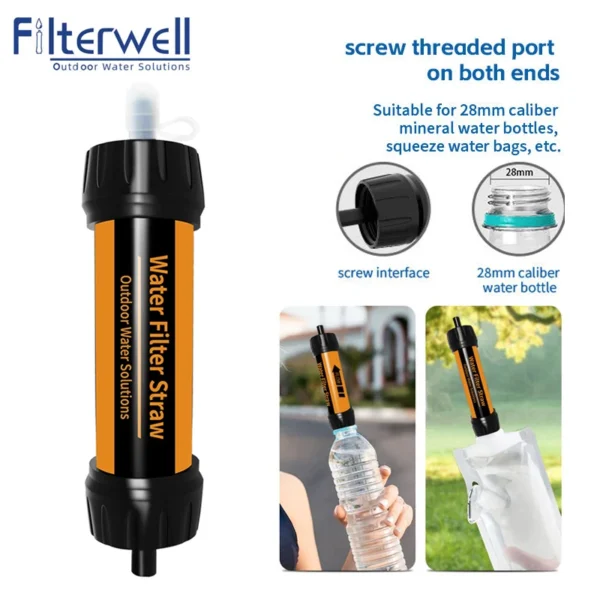
Ultimate Outdoor Water Filter Straw for Safe Hydration Adventures Rated 5.00 out of 5$17.21 – $18.21Price range: $17.21 through $18.21


Product Gallery
-
 VEVOR 550 lb Heavy-Duty Folding Wagon & Bench for Adventurers
$154.92 – $251.84Price range: $154.92 through $251.84
VEVOR 550 lb Heavy-Duty Folding Wagon & Bench for Adventurers
$154.92 – $251.84Price range: $154.92 through $251.84
-
BISINNA One-Touch Titanium Tent for 3-4 Campers, Adventure Ready Rated 4.36 out of 5
$310.92Original price was: $310.92.$216.70Current price is: $216.70. -
Airy Mesh Solo Hiking Tent - Lightweight & Mosquito-Proof Rated 4.71 out of 5
$89.10Original price was: $89.10.$62.10Current price is: $62.10.


 Camping Gear
 Camping Chair
 Camping Table
 Sleeping Bags
 Camping Bed
 Sleeping Gear
 Storage Bags
 BBQ Portable
 Camping Tents
 Gazebos
 Outdoor Cooler
 Cookware
 Power
Power Camping Light
 Flashlight
 Portable Solar
 Power Banks
 Fish Finders
 Fishing Bags
 Fishing Jerseys
 Fishing Reels
 Fishing Chairs
 Fishing Bait Boat
 Fishing Floats
 Hard Baits
 Hiking Vests
 Outdoor Bags
 Water Filters
 Paracord
 Walkie Talkie
 Paddleboards
 Boats
Boats Sea Scooter
 Accessories
 Electric Bike
 Electric Scooter
Recent Comments